
Forest River topographic map
Interactive map
Click on the map to display elevation.
About this map
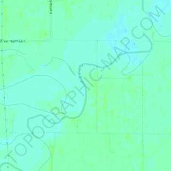
Name: Forest River topographic map, elevation, terrain.
Location: Forest River, Walsh County, North Dakota, USA (48.26876 -97.25089 48.27907 -97.23664)
Average elevation: 245 m
Minimum elevation: 241 m
Maximum elevation: 249 m
Other topographic maps
Click on a map to view its topography, its elevation and its terrain.
Boundary Lake
Boundary Lake, 23rd Avenue Northeast, Bottineau County, North Dakota, USA
Average elevation: 685 m