
Thank you for supporting this site ❤️
Make a donation
Make a donation
Gear up for your next adventure:
As an Amazon Associate, this site earns from qualifying purchases at no extra cost to you.
Khansar topographic map
Click on the map to display elevation.
Thank you for supporting this site ❤️
Make a donation
Make a donation
Gear up for your next adventure:
As an Amazon Associate, this site earns from qualifying purchases at no extra cost to you.
About this map
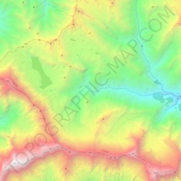
Name: Khansar topographic map, elevation, terrain.
Location: Khansar, Neshyang, Manang, Gandaki Pradesh, Nepal (28.60160 83.78724 28.74309 84.00646)
Average elevation: 5,279 m
Minimum elevation: 3,511 m
Maximum elevation: 8,020 m
Thank you for supporting this site ❤️
Make a donation
Make a donation
Gear up for your next adventure:
As an Amazon Associate, this site earns from qualifying purchases at no extra cost to you.