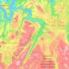
Reine topographic map
Click on the map to display elevation.
Reine
Allers, the largest weekly magazine in Norway, selected Reine as the most beautiful village in Norway in the late 1970s. A photograph over Reine from the mountain Reinebringen (altitude 448 metres (1,470 ft)) has been used for the front page of several tourist brochures and books. In 1999 the painter Ingo Kühl set up a temporary studio in a rorbu and painted the view over the harbor to the mountain range. In January 2015, Reine was the site from which Coca-Cola launched Coca-Cola life in Norway, referred to by the company as "our smallest launch yet". More than half the town's residents (around 200 out of 307) attended this open-air event despite being mid-winter. In 2016–2019, a stone staircase was built up to Reinebringen, which made the mountain (previously considered steep, muddy, and difficult to climb) easily accessible.
About this map
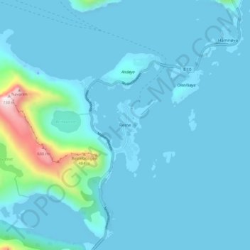
Name: Reine topographic map, elevation, terrain.
Location: Reine, Moskenes, Nordland, 8390, Norway (67.91247 13.06877 67.95247 13.10877)
Average elevation: 58 m
Minimum elevation: -45 m
Maximum elevation: 713 m
Other topographic maps
Click on a map to view its topography, its elevation and its terrain.