
Hamilton Township topographic map
Interactive map
Click on the map to display elevation.
About this map
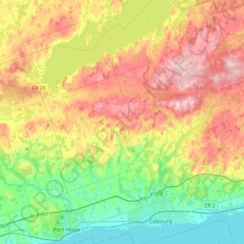
Name: Hamilton Township topographic map, elevation, terrain.
Average elevation: 192 m
Minimum elevation: 70 m
Maximum elevation: 355 m
Other topographic maps
Click on a map to view its topography, its elevation and its terrain.
Cramahe
Canada > Ontario > Northumberland County > Cramahe
Cramahe, Northumberland County, Central Ontario, Ontario, Canada
Average elevation: 163 m