
Naraha topographic map
Interactive map
Click on the map to display elevation.
About this map
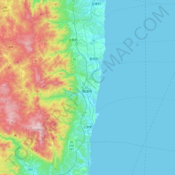
Name: Naraha topographic map, elevation, terrain.
Location: Naraha, Futaba County, Fukushima Prefecture, Japan (37.23911 140.86703 37.33954 141.28920)
Average elevation: 183 m
Minimum elevation: 0 m
Maximum elevation: 848 m