

Srinagar topographic map
Click on the map to display elevation.
Srinagar
Under the Köppen climate classification, Srinagar has a four-season humid subtropical climate (Cfa) with moderately hot summers and cool winters. The valley is surrounded by the Himalayas on all sides. Due to influence from Himalayan rain shadow and western disturbances, Srinagar has year-round precipitation; the spring season is the wettest while autumn is the driest. The region also has less rain from the southwest monsoon in the summer due to lying in the leeward side of the rain shadow which reduces these winds from the south. Winters are colder in the region than most areas with monsoon climates due to these influences and its elevation, resulting in higher temperature variations similar to continental climates.
About this map
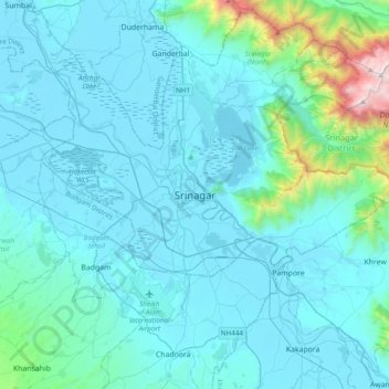
Name: Srinagar topographic map, elevation, terrain.
Average elevation: 1,805 m
Minimum elevation: 1,577 m
Maximum elevation: 4,024 m
Other topographic maps
Click on a map to view its topography, its elevation and its terrain.
