
Seis am Schlern - Siusi allo Sciliar topographic map
Interactive map
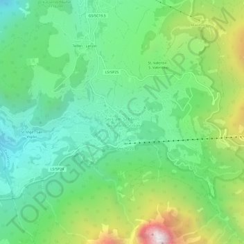
Click on the map to display elevation.
About this map
Name: Seis am Schlern - Siusi allo Sciliar topographic map, elevation, terrain.
Average elevation: 1,211 m
Minimum elevation: 689 m
Maximum elevation: 2,356 m