

Rio Rancho topographic map
Click on the map to display elevation.
Rio Rancho
Rio Rancho is in an arid climate due to its location in the rain shadow of the Sandia Mountains to the east and the Continental Divide to the west. Rio Rancho receives 8.90 inches of precipitation annually on average. The western portion of the city receives slightly more rain and snowfall due to its higher elevation than that of the more densely developed eastern portion of Rio Rancho.
About this map
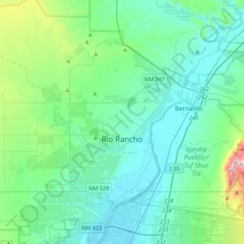
Name: Rio Rancho topographic map, elevation, terrain.
Location: Rio Rancho, Sandoval County, New Mexico, United States (35.17992 -106.86521 35.39438 -106.56700)
Average elevation: 1,672 m
Minimum elevation: 1,518 m
Maximum elevation: 2,487 m