
Gloucester topographic map
Click on the map to display elevation.
About this map
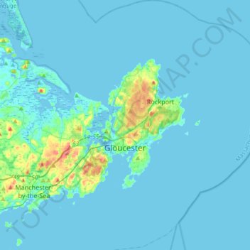
Name: Gloucester topographic map, elevation, terrain.
Location: Gloucester, Essex County, Massachusetts, United States (42.52740 -70.75744 42.74327 -70.56228)
Average elevation: 6 m
Minimum elevation: -3 m
Maximum elevation: 75 m
Other topographic maps
Click on a map to view its topography, its elevation and its terrain.