
Dunkey Island topographic map
Interactive map
Click on the map to display elevation.
About this map
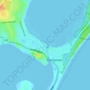
Name: Dunkey Island topographic map, elevation, terrain.
Average elevation: 4 m
Minimum elevation: -2 m
Maximum elevation: 37 m
Other topographic maps
Click on a map to view its topography, its elevation and its terrain.
Lake Munmorah
Australia > New South Wales > Budgewoi
Lake Munmorah, Budgewoi, Central Coast Council, New South Wales, 2262, Australia
Average elevation: 5 m