Geolocate

Colington topographic map

Click on the map to display elevation.

About this map

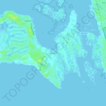
Name: Colington topographic map, elevation, terrain.

Location: Colington, Dare County, North Carolina, 27948, United States (35.98794 -75.72157 36.02794 -75.68157)

Average elevation: 1 m

Minimum elevation: -4 m

Maximum elevation: 15 m

Gear up for your next adventure:

🔦LED Torches - LED torches for outdoor use
🧳Outdoor Travel Organizers - Gear organization accessories
🧰Survival Kits - Essential survival gear
🔦Headlamps - Hands-free lighting for hiking
🔑Heavy Duty Carabiners - Secure gear to the outside of your pack for easy access

As an Amazon Associate, this site earns from qualifying purchases at no extra cost to you.