Geolocate

Del Mar topographic map

Click on the map to display elevation.

About this map

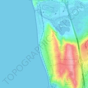
Name: Del Mar topographic map, elevation, terrain.

Location: Del Mar, San Diego County, California, United States (32.93647 -117.27251 32.98050 -117.25466)

Average elevation: 24 m

Minimum elevation: -1 m

Maximum elevation: 128 m

Gear up for your next adventure:

🥤Hydration Packs - Hydration systems for hiking
🔋Solar Power Banks - Charge your phone and GPS using the sun while deep in the bush
🚴Cycling Backpacks - Backpacks for cyclists
🧺Fast-Dry Microfiber Towels - Large towels that pack down to the size of an orange
🔌Fast Charging Adapters - Quickly top up all your gear before heading back into the field

As an Amazon Associate, this site earns from qualifying purchases at no extra cost to you.