
City of Syracuse topographic map
Interactive map
Click on the map to display elevation.
About this map
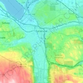
Name: City of Syracuse topographic map, elevation, terrain.
Location: City of Syracuse, Onondaga County, New York, United States (42.98417 -76.20463 43.08612 -76.07427)
Average elevation: 172 m
Minimum elevation: 109 m
Maximum elevation: 354 m