Geolocate

Ning County topographic map

Click on the map to display elevation.

About this map

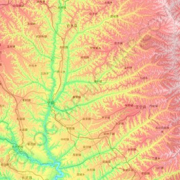
Name: Ning County topographic map, elevation, terrain.

Location: Ning County, Qingyang City, Gansu, China (35.25028 107.67398 35.86612 108.56308)

Average elevation: 1,249 m

Minimum elevation: 866 m

Maximum elevation: 1,679 m

Gear up for your next adventure:

🛰️Handheld GPS Units - Rugged GPS devices for tracking coordinates and elevation in the Australian bush
🛌Sleeping Mats - Insulated mats for camping comfort
🕶️Polarized Outdoor Sunglasses - Reduce glare from rocks and water for better visual navigation
Altimeter Watches - Watches with altitude tracking
👕UPF 50+ Sun Shirts - Essential protection against the harsh Australian sun during field work

As an Amazon Associate, this site earns from qualifying purchases at no extra cost to you.