Geolocate

Kushinagar topographic map

Click on the map to display elevation.

About this map
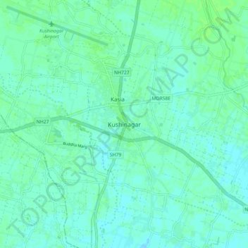
Name: Kushinagar topographic map, elevation, terrain.

Location: Kushinagar, Kasya, Kushinagar, Uttar Pradesh, 274402, India (26.70383 83.87623 26.78383 83.95623)

Average elevation: 80 m

Minimum elevation: 76 m

Maximum elevation: 84 m

Gear up for your next adventure:

👟Lightweight Trail Runners - Agile footwear for fast movement over rugged Australian terrain
🪢550 Survival Paracord - Versatile cordage for gear repair and emergency lashing
🎧Bluetooth Outdoor Earbuds - Listen to navigation cues or podcasts during long solo treks
🧺Fast-Dry Microfiber Towels - Large towels that pack down to the size of an orange
🔑Heavy Duty Carabiners - Secure gear to the outside of your pack for easy access

As an Amazon Associate, this site earns from qualifying purchases at no extra cost to you.