
Town of Enfield topographic map
Interactive map
Click on the map to display elevation.
About this map
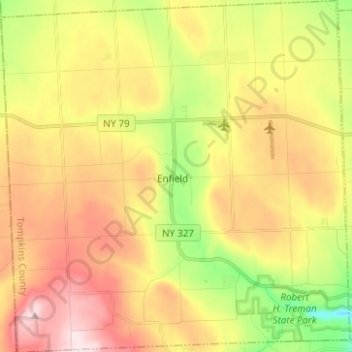
Name: Town of Enfield topographic map, elevation, terrain.
Location: Town of Enfield, Tompkins County, New York, United States (42.39038 -76.69213 42.48233 -76.56850)
Average elevation: 409 m
Minimum elevation: 208 m
Maximum elevation: 608 m