
Gedney Hill topographic map
Interactive map
Click on the map to display elevation.
About this map
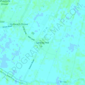
Name: Gedney Hill topographic map, elevation, terrain.
Average elevation: 2 m
Minimum elevation: -2 m
Maximum elevation: 5 m
Other topographic maps
Click on a map to view its topography, its elevation and its terrain.
Long Sutton
United Kingdom > England > Lincolnshire > South Holland
Long Sutton, South Holland, Lincolnshire, England, United Kingdom
Average elevation: 3 m
Spalding
United Kingdom > England > Lincolnshire > South Holland > Spalding
Spalding, South Holland, Lincolnshire, East Midlands, England, United Kingdom
Average elevation: 4 m