Geolocate

Barnburgh topographic map

Click on the map to display elevation.

About this map

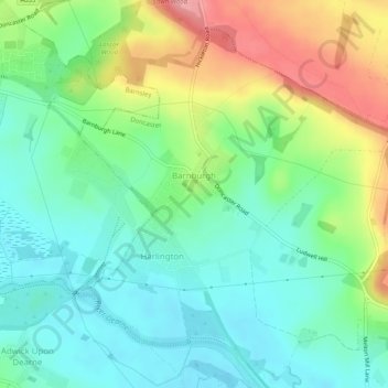
Name: Barnburgh topographic map, elevation, terrain.

Location: Barnburgh, Doncaster, South Yorkshire, England, United Kingdom (53.50733 -1.28632 53.53724 -1.24527)

Average elevation: 45 m

Minimum elevation: 8 m

Maximum elevation: 117 m

Gear up for your next adventure:

🔑Heavy Duty Carabiners - Secure gear to the outside of your pack for easy access
🔋Solar Power Banks - Charge your phone and GPS using the sun while deep in the bush
🏫Topographic World Globes - 3D physical relief globes to understand global geography
🧳Outdoor Travel Organizers - Gear organization accessories
🧥Thermal Emergency Blankets - Compact Mylar blankets to prevent hypothermia if stranded overnight

As an Amazon Associate, this site earns from qualifying purchases at no extra cost to you.