

Surrey topographic map
Click on the map to display elevation.
Surrey
The highest elevation in Surrey is Leith Hill near Dorking. It is 295 m (968 ft) above sea level and is the second highest point in southeastern England after Walbury Hill in West Berkshire which is 297 m (974 ft).
About this map
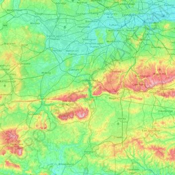
Name: Surrey topographic map, elevation, terrain.
Location: Surrey, England, United Kingdom (51.07150 -0.84893 51.47156 0.05822)
Average elevation: 69 m
Minimum elevation: -1 m
Maximum elevation: 289 m