Geolocate

Rantau topographic map

Click on the map to display elevation.

About this map

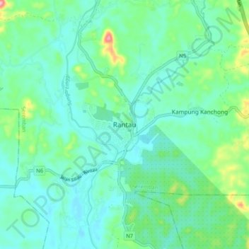
Name: Rantau topographic map, elevation, terrain.

Location: Rantau, Seremban, Negeri Sembilan, 71200, Malaysia (2.55329 101.92146 2.63329 102.00146)

Average elevation: 38 m

Minimum elevation: 6 m

Maximum elevation: 155 m

Gear up for your next adventure:

🦯Trekking Poles - Walking poles for hiking stability
🕶️Polarized Sunglasses - UV protection sunglasses for outdoors
🧳Outdoor Travel Organizers - Gear organization accessories
🔦Powerful LED Headlamps - Hands-free lighting for night navigation and setting up camp after dark
👟Lightweight Trail Runners - Agile footwear for fast movement over rugged Australian terrain

As an Amazon Associate, this site earns from qualifying purchases at no extra cost to you.