
Anthony topographic map
Interactive map
Click on the map to display elevation.
About this map
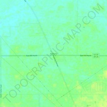
Name: Anthony topographic map, elevation, terrain.
Location: Anthony, Delaware County, Indiana, USA (40.25782 -85.45608 40.29782 -85.41608)
Average elevation: 278 m
Minimum elevation: 271 m
Maximum elevation: 285 m