
Area C (Old Fort/Charlie Lake) topographic map
Interactive map
Click on the map to display elevation.
About this map
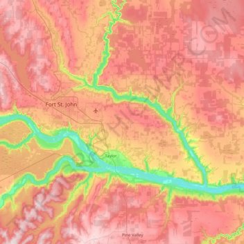
Name: Area C (Old Fort/Charlie Lake) topographic map, elevation, terrain.
Average elevation: 669 m
Minimum elevation: 388 m
Maximum elevation: 894 m