
Bălțata de Sus topographic map
Interactive map
Click on the map to display elevation.
About this map
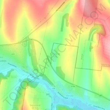
Name: Bălțata de Sus topographic map, elevation, terrain.
Location: Bălțata de Sus, Criuleni District, MD-4814, Moldova (47.04637 29.01554 47.08637 29.05554)
Average elevation: 111 m
Minimum elevation: 43 m
Maximum elevation: 186 m
Other topographic maps
Click on a map to view its topography, its elevation and its terrain.