
Downey topographic map
Interactive map
Click on the map to display elevation.
About this map
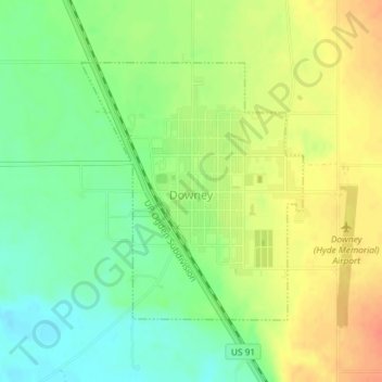
Name: Downey topographic map, elevation, terrain.
Location: Downey, Bannock County, Idaho, 83234, United States (42.41965 -112.13495 42.43786 -112.11368)
Average elevation: 1,482 m
Minimum elevation: 1,460 m
Maximum elevation: 1,506 m