
Leichhardt River topographic map
Interactive map
Click on the map to display elevation.
About this map
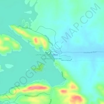
Name: Leichhardt River topographic map, elevation, terrain.
Location: Leichhardt River, Mount Isa, Queensland, 4825, Australia (-20.58014 139.57225 -20.57968 139.57571)
Average elevation: 329 m
Minimum elevation: 308 m
Maximum elevation: 395 m
Other topographic maps
Click on a map to view its topography, its elevation and its terrain.
Lake Moondarra
Australia > Queensland > Mount Isa
Lake Moondarra, Moondarra Drive, Lanskey, Mount Isa, Queensland, 4825, Australia
Average elevation: 349 m