
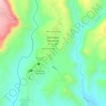
San Pedro Masahuat topographic map
Interactive map
Click on the map to display elevation.
About this map
Name: San Pedro Masahuat topographic map, elevation, terrain.
Location: San Pedro Masahuat, Departamento de La Paz, El Salvador (13.53351 -89.04356 13.54931 -89.03470)
Average elevation: 185 m
Minimum elevation: 95 m
Maximum elevation: 353 m