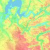
Lemvig topographic map
Click on the map to display elevation.
Lemvig
Lemvig is situated between the Limfjord and Lemvig Lake (Danish: Lemvig Sø), and is nestled between hills to the east and west. The local topography was shaped during the last ice age. It was settled during the Middle Ages and saw significant expansion during the 19th century as a result of trade.
About this map
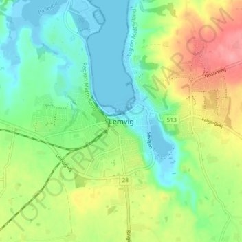
Name: Lemvig topographic map, elevation, terrain.
Average elevation: 30 m
Minimum elevation: -5 m
Maximum elevation: 85 m
Other topographic maps
Click on a map to view its topography, its elevation and its terrain.


Anholt
Denmark > Central Denmark Region
The western fifth of Anholt consists of hilly moraine country, while the eastern four-fifths of the island consist of mostly flat raised seabed with some low hills, former wind-blown sand dunes. Only the western moraine hills are inhabited. The eastern part, called "Ørkenen" (The Desert) is treeless; the…
Average elevation: 2 m