
Thank you for supporting this site ❤️
Make a donation
Make a donation
Gear up for your next adventure:
As an Amazon Associate, this site earns from qualifying purchases at no extra cost to you.
Manchuria topographic map
Click on the map to display elevation.
Thank you for supporting this site ❤️
Make a donation
Make a donation
Gear up for your next adventure:
As an Amazon Associate, this site earns from qualifying purchases at no extra cost to you.
About this map
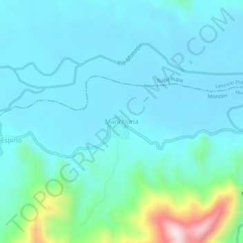
Name: Manchuria topographic map, elevation, terrain.
Location: Manchuria, Monzón, Province of Huamalíes, Huánuco, Peru (-9.22799 -76.18515 -9.18799 -76.14515)
Average elevation: 769 m
Minimum elevation: 697 m
Maximum elevation: 1,160 m
Thank you for supporting this site ❤️
Make a donation
Make a donation
Gear up for your next adventure:
As an Amazon Associate, this site earns from qualifying purchases at no extra cost to you.