
Safel El Ouiden topographic map
Interactive map
Click on the map to display elevation.
About this map
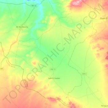
Name: Safel El Ouiden topographic map, elevation, terrain.
Location: Safel El Ouiden, Bir Bouhouche District, Souk Ahras, Algeria (35.88045 7.41533 36.05847 7.58032)
Average elevation: 853 m
Minimum elevation: 741 m
Maximum elevation: 1,009 m