Geolocate

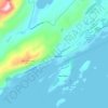
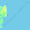
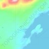
Gurney Bay topographic map

Click on the map to display elevation.

About this map

Name: Gurney Bay topographic map, elevation, terrain.

Location: Gurney Bay, Kodiak Island Borough, Alaska, United States (57.29439 -154.75505 57.29449 -154.75495)

Average elevation: 59 m

Minimum elevation: 0 m

Maximum elevation: 285 m

Other topographic maps

Click on a map to view its topography, its elevation and its terrain.
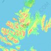
Kodiak

United States > Alaska > Kodiak Island Borough

Average elevation: 62 m

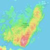
Kodiak

United States > Alaska > Kodiak Island Borough

Average elevation: 62 m

Kodiak

United States > Alaska > Kodiak Island Borough

Average elevation: 62 m

Gear up for your next adventure:

🧊Insulated Cooler Bags - Keep food fresh for day trips to remote geographic sites
🧭Military Style Lensatic Compass - Durable sighting compasses for advanced land navigation and surveying
🧳Outdoor Travel Organizers - Gear organization accessories
⛺Lightweight Tents - Compact tents for backpacking
🌬️Windbreaker Jackets - Wind protection jackets

As an Amazon Associate, this site earns from qualifying purchases at no extra cost to you.