
Thank you for supporting this site ❤️
Make a donation
Make a donation
Gear up for your next adventure:
As an Amazon Associate, this site earns from qualifying purchases at no extra cost to you.
Lagunas topographic map
Click on the map to display elevation.
Thank you for supporting this site ❤️
Make a donation
Make a donation
Gear up for your next adventure:
As an Amazon Associate, this site earns from qualifying purchases at no extra cost to you.
About this map
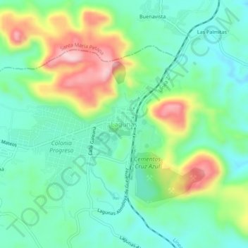
Name: Lagunas topographic map, elevation, terrain.
Location: Lagunas, El Barrio de la Soledad, Oaxaca, 70390, Mexico (16.78375 -95.09091 16.82375 -95.05091)
Average elevation: 292 m
Minimum elevation: 213 m
Maximum elevation: 463 m
Thank you for supporting this site ❤️
Make a donation
Make a donation
Gear up for your next adventure:
As an Amazon Associate, this site earns from qualifying purchases at no extra cost to you.