Geolocate

Bradfield topographic map

Click on the map to display elevation.

About this map
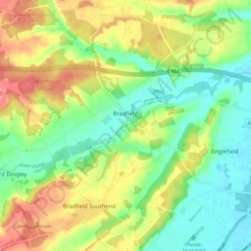
Name: Bradfield topographic map, elevation, terrain.

Location: Bradfield, West Berkshire, England, United Kingdom (51.42351 -1.17739 51.47425 -1.09847)

Average elevation: 77 m

Minimum elevation: 45 m

Maximum elevation: 121 m

Gear up for your next adventure:

🥤Outdoor Water Bottles - Reusable bottles for outdoor activities
🔥Windproof Plasma Lighters - USB rechargeable lighters that work in high-altitude winds
📡Satellite Messengers - Emergency communication devices
🧴Sunscreen SPF - Sun protection for outdoor activities
🔭Compact Hiking Binoculars - Lightweight optics for scouting routes or birdwatching

As an Amazon Associate, this site earns from qualifying purchases at no extra cost to you.