
Kennesaw topographic map
Interactive map
Click on the map to display elevation.
About this map
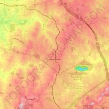
Name: Kennesaw topographic map, elevation, terrain.
Location: Kennesaw, Cobb County, Georgia, USA (33.98696 -84.65002 34.06690 -84.58092)
Average elevation: 317 m
Minimum elevation: 167 m
Maximum elevation: 393 m