Geolocate

Alliston topographic map

Click on the map to display elevation.

About this map

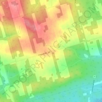
Name: Alliston topographic map, elevation, terrain.

Location: Alliston, Kings County, Prince Edward Island, Canada (46.03628 -62.64907 46.07296 -62.60094)

Average elevation: 60 m

Minimum elevation: 12 m

Maximum elevation: 104 m

Gear up for your next adventure:

🧤Hiking Gloves - Protective gloves for outdoor use
🆘Personal Locator Beacons (PLB) - Satellite emergency beacons for life-saving help in areas with no mobile coverage
🏃Compression Recovery Socks - Reduce leg fatigue after heavy days of elevation gain
🥾Hiking Boots - Durable hiking boots for trails and rough terrain
🔥Windproof Plasma Lighters - USB rechargeable lighters that work in high-altitude winds

As an Amazon Associate, this site earns from qualifying purchases at no extra cost to you.