
Nové Zámky topographic map
Interactive map
Click on the map to display elevation.
Nové Zámky
The town is located on the Danubian Lowland, on the Nitra River, at an altitude of 119 metres. It is located around 100 km from Bratislava and around 25 km from the Hungarian border. It is a road and railway hub of southern Slovakia.
About this map
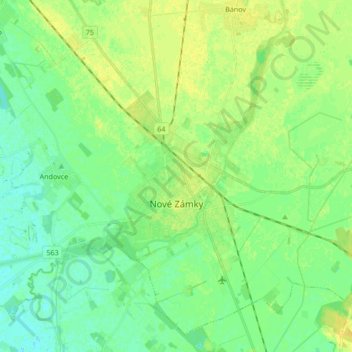
Name: Nové Zámky topographic map, elevation, terrain.
Average elevation: 116 m
Minimum elevation: 108 m
Maximum elevation: 126 m