Geolocate

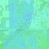
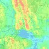
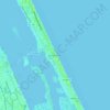
Port Orange topographic map

Click on the map to display elevation.

About this map
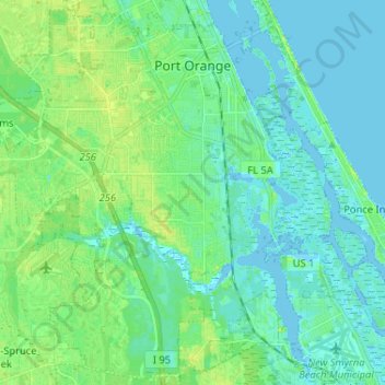
Name: Port Orange topographic map, elevation, terrain.

Location: Port Orange, Volusia County, Florida, United States (29.04473 -81.07241 29.15781 -80.96370)

Average elevation: 5 m

Minimum elevation: -2 m

Maximum elevation: 15 m

Other topographic maps

Click on a map to view its topography, its elevation and its terrain.
Osteen

United States > Florida > Volusia County

Average elevation: 12 m

Tomoka Basin

United States > Florida > Volusia County

Average elevation: 1 m

Kalamazoo

United States > Florida > Volusia County

Average elevation: 7 m

Deltona

United States > Florida > Volusia County > Deltona

Average elevation: 12 m

Mound Grove

United States > Florida > Volusia County

Average elevation: 3 m

Seville

United States > Florida > Volusia County

Average elevation: 13 m

DeLeon Spring

United States > Florida > Volusia County

Average elevation: 12 m

Cassadaga

United States > Florida > Volusia County

Average elevation: 20 m

Louise Lake

United States > Florida > Volusia County > Deltona

Average elevation: 11 m

Osteen

United States > Florida > Volusia County

Average elevation: 12 m

Ariel

United States > Florida > Volusia County > Oak Hill

Average elevation: 3 m

Cedar Island

United States > Florida > Volusia County

Average elevation: 3 m

Barberville

United States > Florida > Volusia County

Average elevation: 12 m

Gear up for your next adventure:

🛌Sleeping Bags - Sleeping bags for outdoor camping
💧Personal Water Filters - Drink safely from streams and lakes identified on your map
🧰Survival Kits - Essential survival gear
📖Australian Bush Survival Books - Local knowledge on finding water and surviving the outback
⌚GPS Watches - GPS watches for outdoor sports

As an Amazon Associate, this site earns from qualifying purchases at no extra cost to you.