
Trout Peak topographic map
Interactive map
Click on the map to display elevation.
About this map
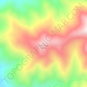
Name: Trout Peak topographic map, elevation, terrain.
Location: Trout Peak, Idaho County, Idaho, United States (46.15709 -114.85460 46.15719 -114.85450)
Average elevation: 1,329 m
Minimum elevation: 947 m
Maximum elevation: 1,674 m
Other topographic maps
Click on a map to view its topography, its elevation and its terrain.
Running Creek
United States > Idaho > Idaho County
Running Creek, Idaho County, Idaho, United States
Average elevation: 1,428 m