
Tunasan topographic map
Interactive map
Click on the map to display elevation.
About this map
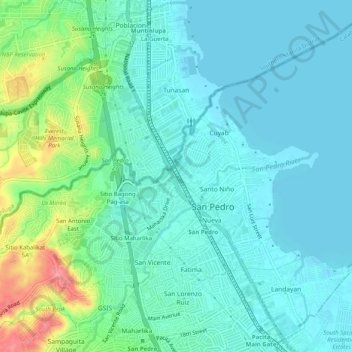
Name: Tunasan topographic map, elevation, terrain.
Average elevation: 19 m
Minimum elevation: 0 m
Maximum elevation: 83 m
Other topographic maps
Click on a map to view its topography, its elevation and its terrain.
Alabang
Alabang, Muntinlupa, Southern Manila District, Metro Manila, 1781, Philippines
Average elevation: 13 m