
Sälen topographic map
Interactive map
Click on the map to display elevation.
About this map
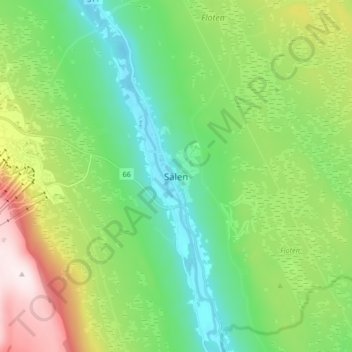
Name: Sälen topographic map, elevation, terrain.
Location: Sälen, Malung-Sälen, Dalecarlia, Region Svealand, Sweden (61.13572 13.24941 61.17572 13.28941)
Average elevation: 449 m
Minimum elevation: 339 m
Maximum elevation: 553 m