
Wootton topographic map
Interactive map
Click on the map to display elevation.
About this map
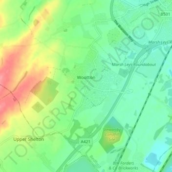
Name: Wootton topographic map, elevation, terrain.
Location: Wootton, Bedford, England, United Kingdom (52.07697 -0.58255 52.11070 -0.51087)
Average elevation: 46 m
Minimum elevation: 20 m
Maximum elevation: 96 m