
Spello topographic map
Interactive map
Click on the map to display elevation.
About this map
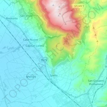
Name: Spello topographic map, elevation, terrain.
Location: Spello, Perugia, Umbria, 06038, Italy (42.96411 12.59149 43.05836 12.72863)
Average elevation: 412 m
Minimum elevation: 185 m
Maximum elevation: 1,288 m