

Bend topographic map
Click on the map to display elevation.
Bend
The Deschutes River runs through Bend, where it is dammed to form Mirror Pond. Bend's elevation is 3,623 feet (1,104 metres) above sea level. The city has a total area of 33.27 square miles (86.17 square kilometres), of which 33.01 sq mi (85.50 km2) is land and 0.26 sq mi (0.67 km2) is water.
About this map
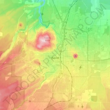
Name: Bend topographic map, elevation, terrain.
Location: Bend, Deschutes County, Oregon, United States (43.99906 -121.38243 44.12375 -121.24335)
Average elevation: 1,121 m
Minimum elevation: 985 m
Maximum elevation: 1,286 m