
Teotihuacán topographic map
Interactive map
Click on the map to display elevation.
About this map
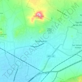
Name: Teotihuacán topographic map, elevation, terrain.
Location: Teotihuacán, 55816, Mexico (19.64753 -98.91574 19.72753 -98.83574)
Average elevation: 2,311 m
Minimum elevation: 2,254 m
Maximum elevation: 2,592 m