
Millerton Lake topographic map
Interactive map
Click on the map to display elevation.
About this map
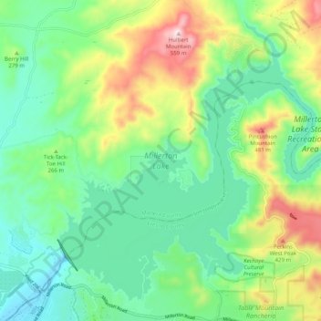
Name: Millerton Lake topographic map, elevation, terrain.
Average elevation: 241 m
Minimum elevation: 94 m
Maximum elevation: 560 m
Other topographic maps
Click on a map to view its topography, its elevation and its terrain.
Parkwood
United States > California > Madera County > Parkwood
Parkwood, Madera County, CAL Fire Southern Region, California, United States
Average elevation: 81 m