Geolocate

Crystal River topographic map

Click on the map to display elevation.

About this map
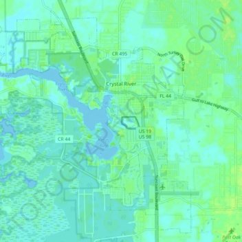
Name: Crystal River topographic map, elevation, terrain.

Location: Crystal River, Citrus County, Florida, 34429, United States (28.85482 -82.65534 28.92593 -82.56712)

Average elevation: 4 m

Minimum elevation: -2 m

Maximum elevation: 12 m

Other topographic maps

Click on a map to view its topography, its elevation and its terrain.
The Pocket

United States > Florida > Citrus County

Average elevation: 20 m

Gear up for your next adventure:

🧦Merino Wool Hiking Socks - Moisture-wicking socks to prevent blisters during long topographic surveys
🔭Compact Hiking Binoculars - Lightweight optics for scouting routes or birdwatching
🔋Rechargeable Batteries - Eco-friendly power for high-drain GPS units and flashlights
🥾Trail Running Shoes - Shoes for trail running
🪢Paracord - Multi-purpose survival cord

As an Amazon Associate, this site earns from qualifying purchases at no extra cost to you.