Geolocate

Amberley topographic map

Click on the map to display elevation.

About this map
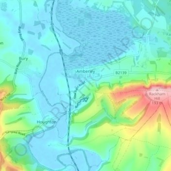
Name: Amberley topographic map, elevation, terrain.

Location: Amberley, Horsham, West Sussex, England, United Kingdom (50.88008 -0.56107 50.92935 -0.49994)

Average elevation: 37 m

Minimum elevation: -3 m

Maximum elevation: 192 m

Gear up for your next adventure:

🕯️Emergency Whistles - Safety whistles for hiking
🦶Orthotic Hiking Insoles - Extra arch support for long-distance topographic treks
🧭Global Orienteering Compass - High-precision liquid-filled compasses for accurate map reading and navigation
🧼Biodegradable Outdoor Soap - Clean gear and yourself without harming the local ecosystem
🚁Camera Drones with GPS - Capture aerial views of the landscape to compare with topo maps

As an Amazon Associate, this site earns from qualifying purchases at no extra cost to you.