
Reeseville topographic map
Interactive map
Click on the map to display elevation.
About this map
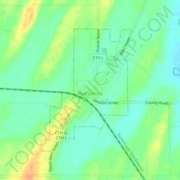
Name: Reeseville topographic map, elevation, terrain.
Location: Reeseville, Dodge County, Wisconsin, United States (43.29631 -88.85488 43.31466 -88.83614)
Average elevation: 252 m
Minimum elevation: 238 m
Maximum elevation: 274 m
Other topographic maps
Click on a map to view its topography, its elevation and its terrain.
Alderly Mill 1866c-71 Dam
United States > Wisconsin > Dodge County
Alderly Mill 1866c-71 Dam, Town of Ashippun, Dodge County, Wisconsin, United States
Average elevation: 296 m