
Costa Mesa topographic map
Interactive map
Click on the map to display elevation.
About this map
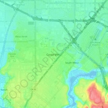
Name: Costa Mesa topographic map, elevation, terrain.
Location: Costa Mesa, Orange County, California, USA (33.62512 -117.95471 33.70209 -117.86397)
Average elevation: 20 m
Minimum elevation: -4 m
Maximum elevation: 71 m