
Orsa kommun topographic map
Interactive map
Click on the map to display elevation.
About this map
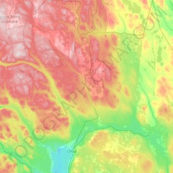
Name: Orsa kommun topographic map, elevation, terrain.
Location: Orsa kommun, Dalecarlia, Sweden (61.04970 14.30404 61.59468 15.09314)
Average elevation: 390 m
Minimum elevation: 152 m
Maximum elevation: 756 m
Other topographic maps
Click on a map to view its topography, its elevation and its terrain.