
Wickham topographic map
Interactive map
Click on the map to display elevation.
About this map
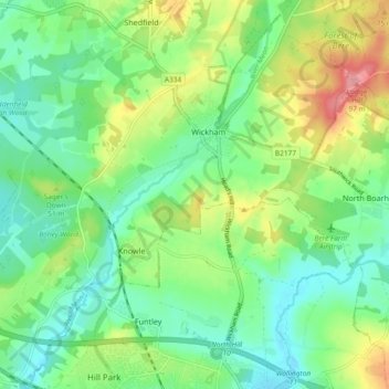
Name: Wickham topographic map, elevation, terrain.
Average elevation: 36 m
Minimum elevation: 3 m
Maximum elevation: 101 m
Other topographic maps
Click on a map to view its topography, its elevation and its terrain.
Sutton Scotney
United Kingdom > England > Winchester > Sutton Scotney
Sutton Scotney, Winchester, Hampshire, South East, England, SO21 3XX, United Kingdom
Average elevation: 74 m